
Transforming Disaster Management: The Real-World Impact of Drones on Emergency Response and Recovery
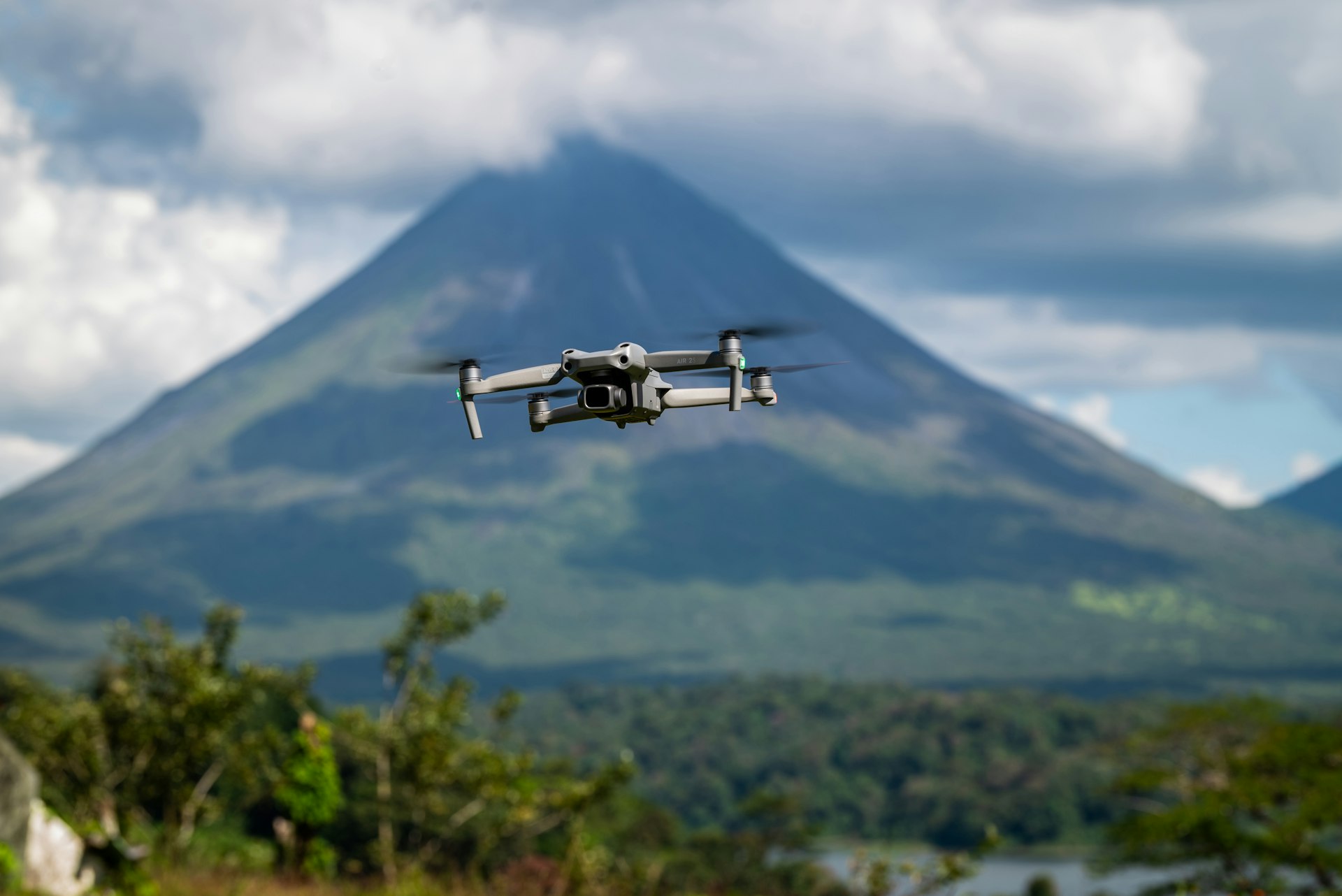

Photo by César Badilla Miranda on Unsplash
Introduction: The Evolution of Disaster Management
Disaster management has undergone significant change in recent years, with drones (Unmanned Aerial Vehicles, UAVs) emerging as a pivotal technology. Their ability to rapidly deploy, access hard-to-reach areas, and provide real-time data has redefined emergency response, relief, and recovery strategies. This article examines the multifaceted impact of drones in disaster management, offers actionable steps for implementation, and addresses both benefits and challenges with verified examples and guidance.
Accelerating Response Times and Improving Access
One of the most critical challenges in disaster management is response time. Traditional vehicles, such as helicopters and ground transports, often face delays due to destroyed infrastructure or inaccessible terrain. Drones, with vertical takeoff and landing (VTOL) capabilities, can be deployed within minutes and cover vast areas swiftly, even when roads and bridges are compromised. For example, after the 2015 Nepal earthquake, international teams used drones to assess damage and locate survivors in areas unreachable by ground crews, dramatically speeding up relief efforts [1] . In another instance, during the Uttarakhand floods in India, drones scanned areas that rescuers could not reach, guiding relief teams toward the most affected zones [2] .

Photo by Benedikt Zinn on Unsplash
Actionable Steps to Integrate Drones for Rapid Response:
- Collaborate with local authorities and emergency agencies to establish drone deployment protocols.
- Train disaster response teams in drone operation and data interpretation.
- Develop a pre-approved flight plan for anticipated disaster scenarios to expedite deployment.
- Maintain a fleet of drones with different capabilities, including VTOL and fixed-wing models, for varied terrain and mission types.
Enhancing Damage Assessment and Resource Allocation
Drones equipped with high-resolution cameras and sensors can provide accurate, real-time information on the extent of damage to buildings and infrastructure. This is essential for prioritizing aid, mapping affected regions, and planning restoration efforts. After the Beirut port explosion in 2020, drone-powered mapping helped authorities quickly assess the scale of destruction, enabling efficient allocation of relief resources and facilitating recovery planning [3] .
Step-by-Step Guidance for Effective Damage Assessment Using Drones:
- Deploy drones immediately after a disaster to capture aerial imagery of the affected area.
- Use specialized sensors (thermal, multispectral) to detect survivors and assess structural integrity.
- Integrate drone data with GIS (Geographic Information Systems) for detailed mapping and resource tracking.
- Share data securely with government agencies, NGOs, and first responders to coordinate recovery efforts.
Supporting Search and Rescue Operations
Drones play a vital role in search and rescue by providing aerial views, detecting survivors through thermal imaging, and delivering supplies to isolated locations. Studies have shown that drones can reach disaster sites up to 93% faster than traditional emergency medical services, enabling remote triage and prioritization of care before ground teams arrive [4] . For example, drones were used to identify hazards, designate safe operational zones, and relay instructions to survivors during multi-casualty incidents.
Practical Application Steps for Drone-Assisted Search and Rescue:
- Equip drones with loudspeakers for remote communication with survivors.
- Utilize drones with thermal cameras to locate individuals in low-visibility conditions.
- Establish protocols for drone-assisted triage, using models such as START or SALT to assess and prioritize casualties.
Delivering Critical Supplies and Medical Aid
In many disaster scenarios, roadways are impassable, and traditional delivery methods are delayed. Drones can transport medical supplies, food, water, and communication equipment directly to affected populations. This capability is especially valuable in remote or isolated regions, where timely delivery can be life-saving. The Tennessee Department of Transportation highlighted how drones supported hazardous material incident response and delivered essential items during emergencies [1] .
Guidance for Implementing Drone Delivery Systems:
- Partner with logistics providers and humanitarian organizations to establish drone delivery networks.
- Secure regulatory approval for airspace usage and cargo transport.
- Develop contingency plans for adverse weather and technical failures.
- Regularly test and maintain drone fleets for reliability.
Integrating Drones Across the Disaster Management Cycle
While drone usage is most common in disaster response, recent research highlights their applicability across all four stages of the disaster management cycle: prevention, mitigation, response, and recovery [2] . Drones can be used to monitor risk-prone areas, assess vulnerabilities, and aid in post-disaster reconstruction by mapping changes and progress.
Alternative Approaches and Solutions:
- Use drones for regular monitoring of flood plains, landslide zones, and wildfire-prone regions to support prevention and mitigation.
- Integrate AI-driven analytics to process drone-collected data, improving predictive modeling and decision-making.
- Collaborate with academic institutions and technology firms to refine drone applications and enhance effectiveness.
Challenges and Solutions
Despite their benefits, implementing drones in disaster management presents challenges such as regulatory restrictions, privacy concerns, weather limitations, and the need for specialized training. Solutions include working closely with aviation authorities for expedited permissions, investing in robust data security protocols, and developing weather-resistant drone technologies. Training programs for operators and responders are essential to maximize the potential of drone deployments.
If you are interested in adopting drones for disaster management, consider these steps:
- Contact your national or regional disaster management authority to inquire about approved drone programs and pilot initiatives.
- Search for accredited training providers and certification courses in UAV operations for emergency response.
- Engage with local technology vendors and research organizations for advice on selecting suitable drone platforms and software.
- Regularly review updates from agencies such as the National Disaster Management Authority (NDMA) or the Federal Aviation Administration (FAA) for regulatory guidance and best practices.
Key Takeaways and Strategic Guidance
Drones have proven to be a transformative force in disaster management, offering accelerated response times, accurate damage assessment, enhanced search and rescue capabilities, and efficient delivery of supplies. Their integration across the entire disaster cycle-from prevention to recovery-is supported by growing evidence and real-world case studies. While implementation requires careful planning and compliance with regulations, organizations can begin by partnering with official agencies, investing in training, and exploring available pilot programs. For more information, contact your local disaster management agency or consult established drone technology providers for tailored solutions.
References
- [1] FlytBase (2023). Drone for Disaster Management: How Drones are Used in Disaster Relief.
- [2] Telecommunication Engineering Centre, India (2023). Study Paper on Use Cases of Drones in Disaster Management.
- [3] FEDS Group (2021). Case Study: Drone Disaster Response in Beirut’s Recovery.
- [4] Sanz-Martos, S. et al. (2022). Drone Applications for Emergency and Urgent Care. Prehospital and Disaster Medicine.
- [5] Yucesoy, E. et al. (2025). The Role of Drones in Disaster Response: A Literature Review. International Transactions in Operational Research.